
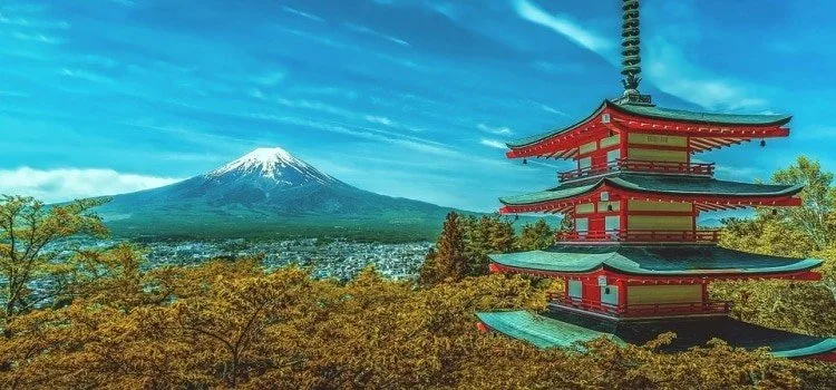
Japan sells itself with cherry blossoms and Mount Fuji, but most of the country is forested mountain sitting on a volcanic seam. The official island count now stands at 14,125 — more than twice the old textbook figure of 6,852 — and the land itself did not grow an inch.
That stretch, from snowbound Hokkaido to subtropical Okinawa, is why asking for “the” biome of Japan never quite works. The weather, the trees, and even the way the rain falls change with which sea you face.
Geography and vegetation of Japan
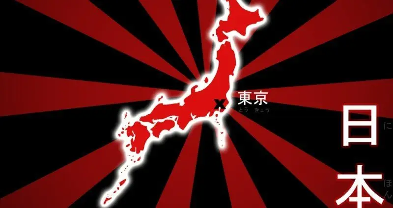
Japan is an archipelago in the western Pacific. In 2023 the Geospatial Information Authority recounted the coast with digital maps and arrived at 14,125 islands, up from the 6,852 listed since the late 1980s. The extra islands were already Japanese land. Older charts had simply glued some of them together. The four largest islands — Honshu, Hokkaido, Kyushu, and Shikoku — still make up about 97 percent of the area.
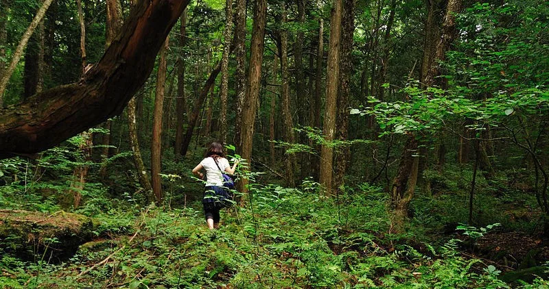
Most of that area is mountains and forest. About two-thirds of the country is wooded, a share closer to Finland or Sweden than to most densely populated nations. Cities cling to the coasts and a handful of plains. On a map the archipelago is often compared with Germany or California in size: the territory is about 378,000 square kilometers, long and thin rather than compact.
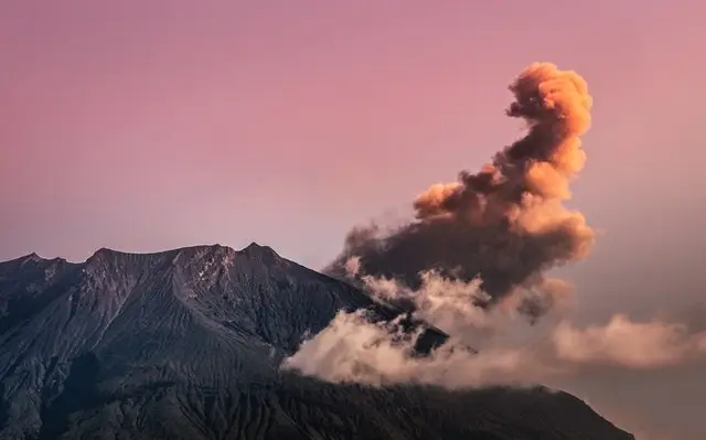
The country sits on the Pacific Ring of Fire, where several tectonic plates meet. That collision is why Japan records so many earthquakes, and why volcanic activity is part of ordinary geography, not a rare spectacle. The same heat feeds onsen towns and mineral-rich baths. Japan has more than a hundred active volcanoes. They are not harmless — ash, trail closures, and the 2014 eruption of Mount Ontake sit in living memory — but they are also the reason the landscape looks the way it does.
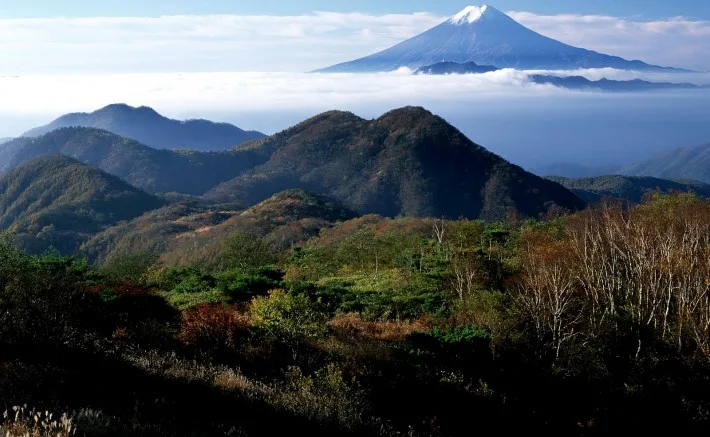
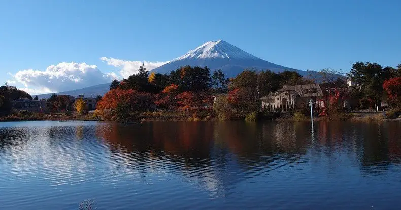
The tallest mountain and volcano in Japan is the famous Mount Fuji at an incredible 3,776 meters above sea level. The pile of volcanoes under the islands is a reminder that the ground is unstable and full of energy. East of the archipelago, the Pacific Plate slides beneath the Okhotsk Plate along the Japan Trench, which is also why tsunamis belong in any honest description of the land.
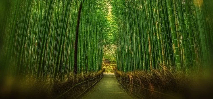
There is no single Japanese biome. From north to south the vegetation shifts with latitude and altitude: conifer woods of spruce and fir in Hokkaido and the high mountains, summer-green beech and oak forest across much of Honshu, evergreen laurel and oak woods in the southwest, and subtropical forest in the Ryukyu Islands. Planted cedar (sugi) and cypress cover large slopes that were once mixed woodland. The flora includes on the order of 5,500 to 7,000 plant species, some of them endemic, and a few that work as national shorthand — cherry blossom, maple, bamboo.
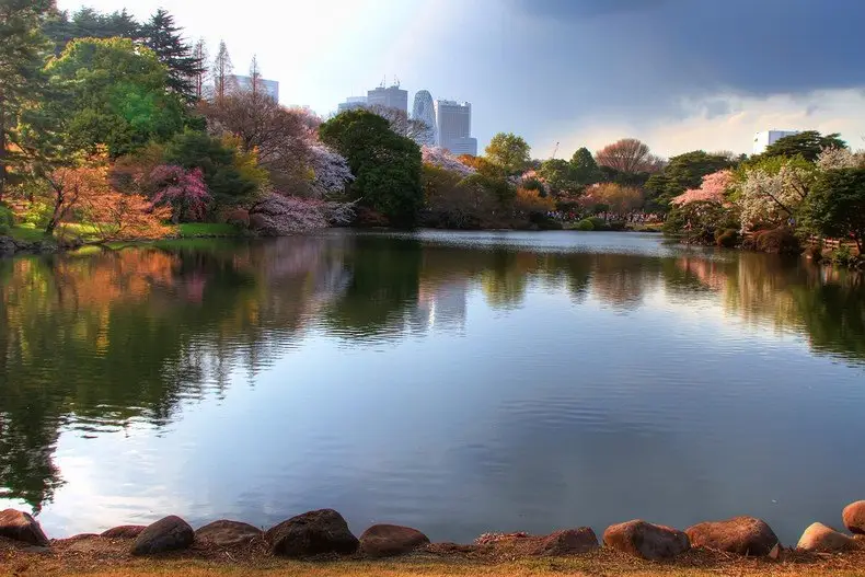
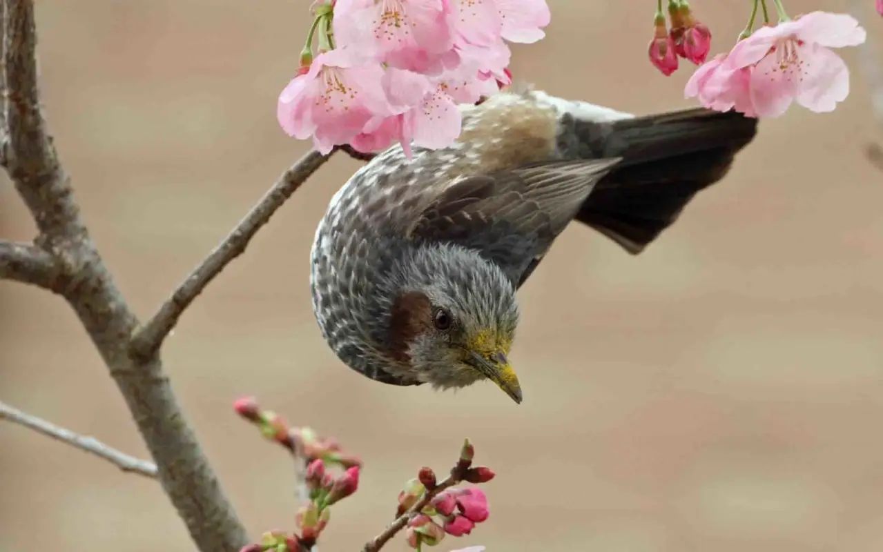
The most famous of those plants is still sakura. It is one species among thousands, but it is the one that paints cities for two weeks and then drops. Japan is short of many industrial minerals on land and imports them. Forests cover most of the mountains, yet the country still brings in timber for construction and paper: much of the standing wood is plantation cedar that is expensive to cut on steep slopes, so the green map and the lumber yard tell different stories.
Climate, biomes, and seasons of Japan
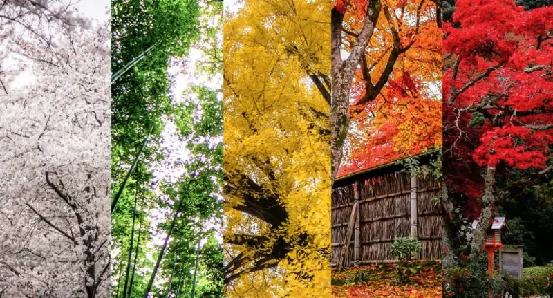
Most of Honshu, Shikoku, and Kyushu live in a humid climate with four seasons you can see from the train window. That is not a miracle unique to Japan, but the contrast is sharp: winter light, a short burst of blossom, sticky summer, then maple. The pattern is steered by cold air from Siberia in winter and warm, wet air from the Pacific in summer, with typhoons arriving from late summer into early autumn.
A fifth beat sits between spring and the real heat: tsuyu, the East Asian rainy season. On Honshu, Shikoku, and Kyushu it usually runs from mid-June to mid-July. Hokkaido largely skips it. Okinawa’s rainy weeks start earlier, often in May. After tsuyu, summer turns hot and humid, which is when cities post heatstroke warnings and the mountains start to look like a better idea.
Japan is usually divided into six climate regions, not four vague blocks:
- Hokkaido — humid continental, long winters, heavy snow, cool summers.
- Sea of Japan coast — the winter monsoon dumps snow on the back side of the mountains.
- Central highlands — inland swings of heat and cold, less rain in the mountain shadow.
- Seto Inland Sea — milder, with more clear days because surrounding ranges block the wind.
- Pacific coast — milder, sunnier winters and wetter summers. Tokyo sits here.
- Ryukyu Islands — subtropical to tropical, with heavy rain and a long typhoon season.
Two ocean currents finish the picture. The warm Kuroshio runs north along the Pacific and takes the chill off southern and eastern coasts as far as Tokyo. The cold Oyashio brushes Hokkaido and northern Honshu, feeding fog and cold-water fisheries. That is why a “south” of Japan and a “north” of Japan can feel like different countries in the same week.
Winter runs from December to February. The farther north you go, the more snow you find. The Pacific side of Honshu often stays dry and bright while the Sea of Japan side disappears under snow clouds. Spring, from March to May, is when the country turns color and hanami happens. It is also peak cedar and cypress pollen, which is why so many people wear masks in April for reasons that have nothing to do with fashion. Summer begins with those weeks of rain, then heat. Autumn is cooler, good for walking, and the first typhoons of the season may still brush the south. For the smaller seasonal beats that Japanese calendars actually use, there is a longer map of seasons and seasonal moments in Japan.
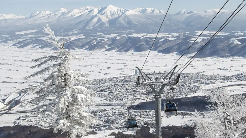
Records show the range. Asahikawa in Hokkaido has fallen to −41°C. Inland basins on Honshu have climbed past 40°C in midsummer. Those numbers are extremes, not a weather forecast, but they explain why packing for “Japan” without a region is a guess.
To summarize better:
- Center (Honshu) — oceanic temperate climate, high rainfall.
- North (Hokkaido) — cold climate, with long winter months, influenced by the cold Oyashio current.
- South (Shikoku and Kyushu) — subtropical climate, moderated by the Kuroshio current.
The geography is the climate, and the climate is the vegetation. Once you see the archipelago as a north–south chain of mountains between two different seas, the cherry trees, the cedar pollen, the onsen steam, and the snow in Furano stop looking like separate curiosities.

Community
Comments
0 comments
There are no published comments in this language yet.
Send comment