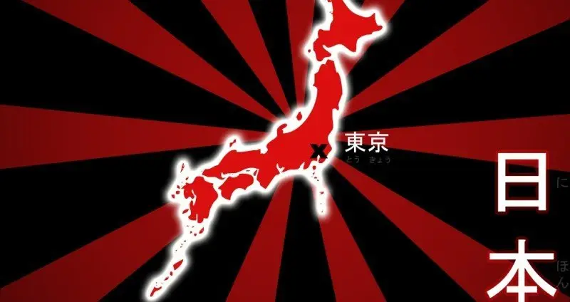
Japan is an archipelago of more than 6,000 islands inhabited by over 127 million people. It may seem strange, but Japan is divided into 47 prefectures and 8 regions. Regions are associated with climate, geographical features, culture, food, and Japanese dialects. Below we will look a little at each region of Japan.

Contents 8
Hokkaido 北海道
Hokkaido is the second largest island in Japan, located in the north. It is a vast area of farms, mountains, small towns, and famous cities like Sapporo and Asahikawa that surprisingly have large areas for recreation and tourism. The population of the island is about 5.5 million people.

Tohoku 東北
Tohoku (Touhoku) literally means northeast, located in the north of the main island of Japan, and includes six prefectures: Akita, Aomori, Fukushima, Iwate, Miyagi, and Yamagata.
Tohoku has a reputation for being a frozen desert, but the region has hot summers and a population of over 9 million people, including several large cities like Sendai and Morioka. The region has a Japanese dialect known as Tohoku-ben that is strong enough to make communication a bit difficult for people from Tokyo.
Many people are embarrassed to use the dialect outside their hometown because it has a stigma of being rural. Tohoku is known for its winter sports, festivals, hospitality, and excellent food.

Kanto - 関東
Kanto is a populous region of 43 million people centered around Tokyo. It also includes Kanagawa, Chiba, Saitama, Ibaraki, Tochigi, and Gunma.
Much of the region is a giant block of urban area known as Greater Tokyo. Unlike other regions of Japan, few people strongly identify by saying they are from the Kanto region. Instead, they tend to identify with their city, such as Tokyo, Yokohama, or Saitama. If you ask people where they are from, no one says Kanto.
Kanto is a gigantic place, an endless journey with all kinds of adventure.
Kanto can also be divided into North and South


Kansai - 関西
Kansai is a region of 22 million inhabitants centered around the cities of Osaka, Kyoto, and Kobe, which form a large urban area. The region has a dialect of the Japanese language known as Kansai-ben.
Kansai and Kanto have an intense rivalry that has lasted for centuries. The region includes Kyoto, Osaka, Hyogo, Nara, Wakayama, Mie, Shiga, and Fukui. Kansai also has the best tourist attractions in Japan.
Note: Kansai was formerly called Kinki 近畿.

Chugoku - 中国
The Chugoku region is in the lower part of the main island of Japan and includes Hiroshima, Okayama, Shimane, Tottori, and Yamaguchi.
The Kanji for Chugoku is 中国 which is also the Japanese word for China meaning "country of the middle." This is a strange name for a region of Japan, so an alternative name is Sanin-Sanyo, used occasionally. Chugoku has several distinct Japanese dialects. Some parts of the region are heavily industrialized while others are rural areas.
Chugoku has a population of 7.5 million and Hiroshima is its largest city. The Hiroshima area is also home to many tourist attractions, such as the Itsukushima Shrine and the Hiroshima Peace Memorial Museum.

Kyushu and Okinawa 九州
Kyushu is a populated island with 13 million people, it is the 37th largest island in the world. The island is lush and green and has several of the most active volcanoes in Japan. It is divided into seven prefectures: Fukuoka, Saga, Kumamoto, Nagasaki, Oita, Kagoshima, and Miyazaki.
Kyushu has been inhabited since prehistoric times and has a rich history represented by many castles and temples in the area. Kyushu also has several of the largest cities in Japan and the most famous hot springs.
Okinawa is a chain of islands in the south of Japan with a humid subtropical climate and a unique culture. Its population is relatively low, just over 2 million people. Okinawa has eight main islands, each with a unique local culture.

Shikoku 四国
Shikoku is the smallest of the four main islands of Japan and is the 50th largest island in the world.
It includes Ehime, Kagawa, Kochi, and Tokushima, which have relatively small populations. The total population of the island is 4 million. Shikoku has pleasant nature, temples, hot springs, and great festivals.

Chubu 中部
Chubu is a collection of prefectures in central Japan between Kyoto and Tokyo. Its prefectures are Aichi, Gifu, Ishikawa, Nagano, Niigata, Shizuoka, Toyama, and Yamanashi. The region contains the most mountainous areas of Japan, including Mount Fuji. Chubu also includes Nagoya, the fourth largest city in the country. The population of the region is close to 22 million.
Chubu can also be divided into three subregions:
- Hokuriku (northwest of Chubu)
- Koshinetsu (northeast of Chubu)
- Tokai (south of Chubu, includes Nagoya)


These were the 8 Regions of Japan. I hope you enjoyed it, and don't forget to share. Below we will leave another map so you can understand more about the geography of Japan.


Community
Comments
0 comments
There are no published comments in this language yet.
Send comment